
MalteMalta
COUNTRY
Country profile
Discover Malta
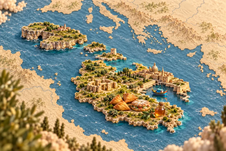
Malta, Gozo and Comino are the main islands of this Mediterranean archipelago. Temples, harbours and village celebrations reveal longstanding exchanges; breads, pastries and seafood accompany living local traditions shaped by island communities and different historical influences. Malta and Gozo are islands of harbors, stone towns and maritime culture. Village festivals and several cultural inheritances meet breads, fish, olive oil, vegetables and pastries. Useful starting points connect landscapes with cultural heritage: Valletta fortifications, megalithic temple, luzzu boat, Gozo cliffs. Food offers another way to explore, including pastizzi pastries, ftira bread, honey. These examples introduce selected traditions; they cannot represent every community, region or culinary practice in the country. Markets, workshops and everyday places help explain how skills are passed on, adapted and kept alive. Their stories reveal connections between local ingredients, seasonal celebrations and the people who prepare and share meals. On Kestufela, shared public places and contributions continue this overview with more specific discoveries. Choose a territory, section or interest to explore local perspectives, compare experiences and learn about the places behind familiar images.
Choose a section and then a tag to browse geolocated publications in this area.