
P’tites Annonces · IslandeIceland
COUNTRY
Country profile
Discover Iceland
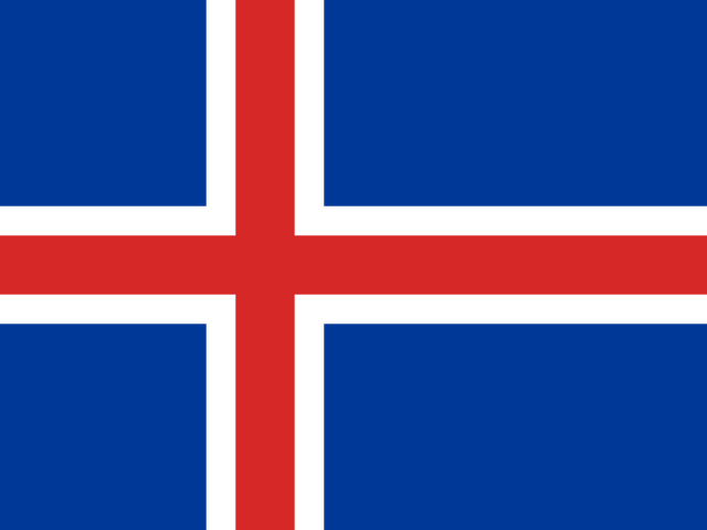
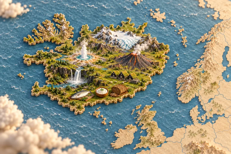
This North Atlantic island belongs to the European context. Volcanoes, glaciers and hot springs shape its landscapes; maritime histories, sagas and rural activities accompany food traditions connected with fishing, dairy farming and the changing seasons. Turf-roof houses demonstrate building techniques adapted to available resources and climate. Geysers, waterfalls and volcanoes provide natural landmarks, while the sagas recall the importance of storytelling in Icelandic heritage. Wool crafts and musical traditions extend that culture into contemporary creativity. Fish has an important place in food and the history of coastal communities. Skyr, a thick dairy preparation, provides another connection with farming practices. Rye bread has local versions, some using geothermal heat for baking. Lamb, berries and seasonal produce add other elements to meals. Ports, farms and towns therefore offer different settings for Icelandic cooking. Environmental resources, preservation techniques and occasions for gathering connect the country’s dramatic landscape with the practical knowledge and habits of everyday life.
Browse all publications in this territory, then narrow them by TAG.