
P’tites Annonces · ÉgypteEgypt
COUNTRY
Country profile
Discover Egypt
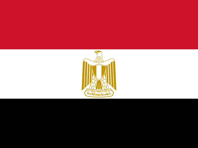
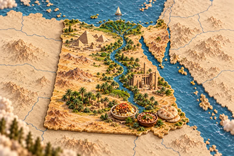
Egypt is transcontinental: most of its principal territory is in Africa, while Sinai lies in Asia. The Nile, deserts and coastlines connect ancient heritage, living cities and food traditions shaped by several Mediterranean and regional cultural influences. Giza’s pyramids and Luxor’s temples evoke antiquity, but Egyptian heritage also includes Coptic and Islamic histories and living local cultures. The Nile connects agricultural landscapes, cities and the movement of produce. Neighbourhoods and markets provide another measure of that history through crafts, bread and everyday food preparation. Koshary brings rice, lentils and pasta together with sauce and toppings, while foul medames is based on cooked fava beans. Baladi bread accompanies many meals and often helps diners take food from shared dishes. Coastal fish, vegetables and dates add other flavours. These accessible foods and household recipes show how traditions of sharing are sustained in ordinary gestures. Valley settlements, desert communities and seaside towns offer different contexts for discovering those practices.
Browse all publications in this territory, then narrow them by TAG.