



Cap d’Antibes Coastal Path

 AI-generated
Article
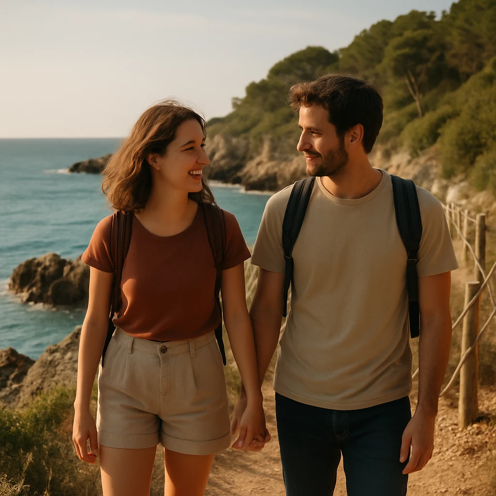
# Cap d’Antibes Coastal Path: A Seaside Escape for Two Overlooking the Mediterranean Between Antibes and Juan-les-Pins, the **Cap d’Antibes coastal path**—also known as the “Tire-Poil” path—offers a rare escape on the French Riviera. Here, the Mediterranean accompanies almost every step: it appears between the rocks, skirts the coves and opens up views towards the Lérins Islands, while the first foothills of the Mercantour can be seen in the distance when the sky is clear. This seaside hike combines the energy of a rugged coastline with the understated elegance of Cap d’Antibes. With a route of approximately **2.7 km**, the trail offers an intense experience without being about performance: the essential thing is to slow down, look around, stop often and fully enjoy the scenery. ## Description The route links the area around **Plage de la Garoupe** with that of **Villa Eilenroc**, following the rocky coast as closely as possible. The path crosses a Mediterranean setting where rocky stretches, coastal vegetation and spectacular views over the water alternate. The turquoise sea is the true thread running through the walk. In some places, the view extends towards the Lérins Islands; elsewhere, the coastline reveals its contours, rocks and villas nestled into the cap’s landscape. The trail also invites you to discover the **Olivette harbour**, a small, typical port that adds a further maritime touch to the route. This natural setting, recognised for its preserved character, gives the walk a wilder atmosphere than the urban promenades of the French Riviera. The constant proximity of the water makes every section photogenic, without needing to look long for a beautiful viewpoint. ## Why Go as a Couple The Cap d’Antibes Coastal Path is particularly well suited to a hike for two. Its length allows you to walk unhurriedly, take breaks overlooking the sea and turn a simple stroll into a shared moment. As a pair, the details take on another dimension: light on the water, a boat passing offshore, an open view towards the islands or a rocky nook perfect for a souvenir photo. The path can be explored at your own pace, between conversation, silence and contemplation. It is also an ideal destination for those wishing to combine gentle activity with a romantic atmosphere. The setting retains a feeling of exclusivity, thanks to its wooded landscapes, the cap’s properties and the vastness of the sea. Rather than a hike to tick off a list, it is an experience to savour together. ## Best Seasons The information provided does not identify an officially recommended season. The best time to visit therefore depends largely on your preferences regarding light, temperature and visitor numbers. To enjoy the trail comfortably, choose a day when the weather allows for an easy walk on a rocky path and good visibility over the sea. Morning or late-afternoon atmospheres can be especially favourable for photography, although visitor numbers and on-site conditions cannot be guaranteed. Before setting off, consult a local or official source to check access conditions and the state of the trail, as these may change. ## Practical Tips The path follows a rocky shoreline, so **suitable footwear** is recommended. Bring water and sun protection as well, since the sea views may tempt you to extend your breaks. Allow some time beyond the walk itself. The route is punctuated with viewpoints worth stopping for: the islands, the waves, the rocks and the distant hills. A duration of around **two hours** is suggested for an unhurried visit. Respect the natural character of the area by remaining mindful of the path and its surroundings. Cap d’Antibes’ preserved landscapes are precisely what give this walk its distinctive charm. ## Access and Landmarks The recommended starting point is near **Plage de la Garoupe**, then follow the coastline towards **Villa Eilenroc**. The provided map reference is: **43.561000, 7.127000**, in the **Provence-Alpes-Côte d’Azur** region. Cap d’Antibes lies on the peninsula between Antibes and Juan-les-Pins. Before you go, be sure to check variable information—exact access, parking, any restrictions and trail conditions—with local or official sources.
Information
Where: Antibes — Provence-Alpes-Cote d'Azur