



Engineering That Commands Silence: Cordouan Lighthouse

 AI-generated
Article
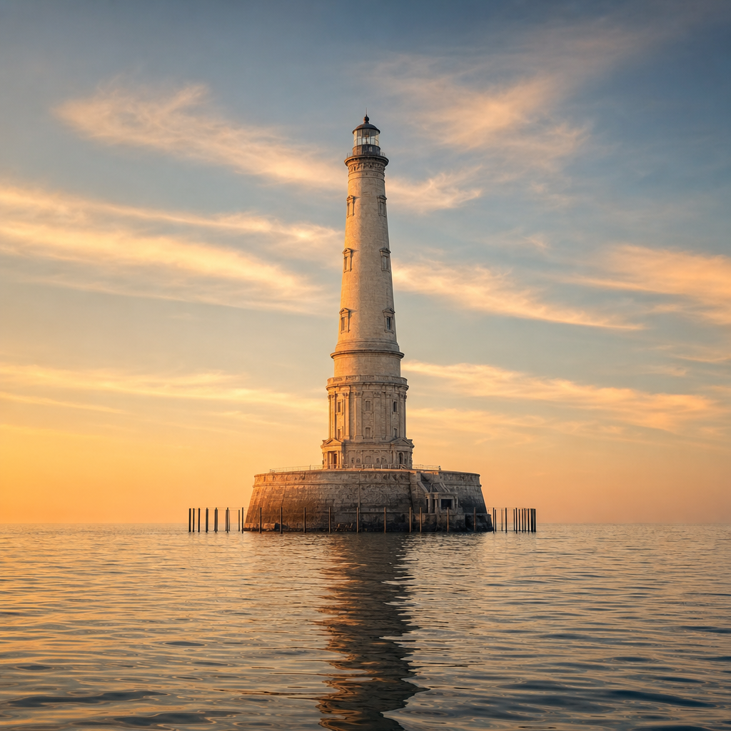
# Cordouan Lighthouse: the monument standing watch at the entrance to the estuary Off the coast of Gironde, seven kilometres out at sea, Cordouan Lighthouse rises from the Cordouan plateau, where the Atlantic Ocean meets the Gironde estuary. Its location, between the Pointe de Grave at Le Verdon-sur-Mer and Saint-Palais-sur-Mer near Royan, explains its purpose: to guide navigation through the two channels leading into the shared estuary of the Garonne and Dordogne rivers. Built between 1584 and 1611 by Louis de Foix, Cordouan is France’s oldest lighthouse still in operation. Its mission is now fully automated, under the administration of the Le Verdon-sur-Mer services of the South Atlantic Interregional Directorate for the Sea. ## Why make the detour Cordouan is unlike a simple coastal marker. Standing alone on the water, it combines an essential maritime function with monumental architecture that has earned it the nicknames “Versailles of the Sea,” “the lighthouse of kings,” and “the king of lighthouses.” Its appeal lies first and foremost in its setting: the lighthouse watches over the main western channel, marked at night and running along the northern shore from the Banc de la Coubre, as well as the narrower southern channel, which is not marked at night. Here, engineering is not spectacular for stylistic effect: it ensures the safety of a complex maritime passage, where the Atlantic meets the estuary. The monument has been listed as a Historic Monument since the 1862 register, making it France’s oldest listed lighthouse. Since July 2021, it has also been inscribed on the UNESCO World Heritage List. This dual recognition highlights both its architectural value and its continuing role in the maritime history of the Atlantic coast. Nearby, a new sand formation known as “Île sans nom” (“Nameless Island”) appeared east of the lighthouse in March 2009. It is a reminder that the landscape around Cordouan remains shaped by the movements of sand, sea and estuary. ## The best time Cordouan is best seen first and foremost as a maritime monument: its silhouette takes on its full meaning when the sea, sky and horizon are clearly visible. Navigational and visibility conditions play a decisive role in the experience, as the lighthouse stands offshore on a plateau surrounded by water. For a possible boat trip or visit, it is advisable to check up-to-date information with the organisations responsible for promoting the site, notably SMIDDEST and the relevant local bodies. Options depend on maritime conditions and current arrangements. ## Planning your visit The lighthouse belongs to the French State. Since 2010, its tourism development and guardianship have been delegated to the Syndicat mixte pour le développement durable de l’estuaire de la Gironde, in collaboration with the association for the preservation of Cordouan Lighthouse. This is not a site to approach as one would a land-based monument: its offshore location requires taking weather, sea conditions and navigation rules into account. Before planning a trip, consult the latest official information on access or visiting options. Even from the coast, it remains well worth seeing: Cordouan tells the story of a precise maritime boundary, between the Médoc, the Royan coast, the ocean and the estuary. Simply spotting it in the distance can be enough to grasp the scale of its isolation. ## Access and landmarks The lighthouse is registered within the municipality of Le Verdon-sur-Mer, in Gironde, where it forms cadastral plot number 1. It nevertheless lies seven kilometres offshore, between the Pointe de Grave and Saint-Palais-sur-Mer, near Royan. The main geographical landmark is the entrance to the Gironde estuary. To the west lies the Atlantic; inland, the Gironde leads to the Garonne and Dordogne rivers. Cordouan stands precisely at this threshold, facing the maritime channels whose marking it provides.
Information
Where: Le Verdon-sur-Mer — Nouvelle-Aquitaine