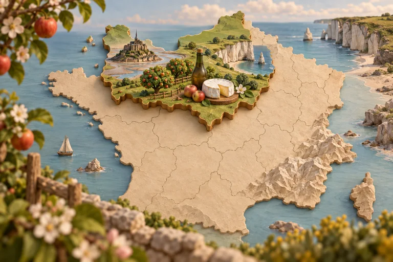
Normandy extends from Mont-Saint-Michel to the Seine estuary, across bocage countryside and Channel coasts. Maritime life, Impressionist heritage and the history of the D-Day landings remain prominent. Apples, cider, Calvados, Camembert, cream and seafood shape its cuisine.
Explore public contributions related to this theme.
PUBLIC FAVOURITE PLACE
Quais de Seine (Rouen)
Shared by:
TheoBrume
Published on 2026-04-25 17:18:52
Description
Quais de Seine (Rouen) désigne un secteur de berges aménagées à Rouen. Les quais se prêtent généralement à la marche, à l’observation du fleuve ou de la rivière et aux pauses urbaines ; les accès et usages précis restent à confirmer sur place.
Période privilégiée : au printemps et en été, en journée.
Présentation générale à vérifier sur place avant de s’y engager par ici.
Citation : « Qui ne risque rien n’a rien. » — Proverbe français, 1600
Information
Department: [FR], Seine-Maritime (76), Rouen
Location: Rouen — Normandie
We use cookies
Essential cookies remain active so the site can work. You can accept, refuse or customise your choices at any time.