


Mont-Saint-Michel
Shared by: JoPixel
Description
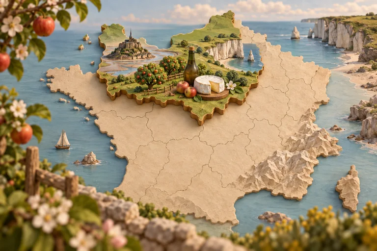
Le mont Saint-Michel est un îlot rocheux granitique d’environ 960 mètres de circonférence situé à l’est de l’embouchure du fleuve du Couesnon, dans le département de la Manche en Normandie. Son nom se réfère à l'archange saint Michel qui aurait exigé la construction d'un sanctuaire, selon un récit légendaire. Avant l'année 709, il était connu comme le « mont Tombe ». Pendant tout le Moyen Âge, il est appelé « mont Saint-Michel au péril de la mer ». Sur le mont est située l'abbaye du Mont-Saint-Michel. L'îlot constitue une petite partie du territoire de la commune du Mont-Saint-Michel. Période privilégiée : au printemps et en été, en journée. Source : https://fr.wikipedia.org/wiki/Mont_Saint-Michel Citation : « Mieux vaut un tiens que deux tu l’auras. » — Proverbe français, 1600
Information
Department: [FR], Manche (50), Le Mont-Saint-Michel
Location: Le Mont-Saint-Michel — Normandie