


At the Edge of the World — Cap Blanc-Nez
Article
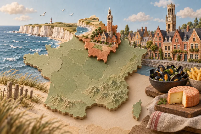
# At the Edge of the World — Cap Blanc-Nez At Cap Blanc-Nez, the landscape requires no immediate explanation: it stands there, sheer, white and open to the Strait of Dover. From Escalles, around ten kilometres from Calais and roughly 25 kilometres from Boulogne-sur-Mer, this cliff marks the northernmost point of the French coastline. I come here for the clarity of the setting. Chalk and marl form steep cliffs overlooking a rocky foreshore. They rise to 134 metres, and up to 151 metres according to the Conservatoire du littoral. At the summit, grassy heathland is shaped by wind and salt spray: terrain that appears simple, yet gives the cape its distinctive texture. ## Why make the detour Cap Blanc-Nez is a vast balcony overlooking the English Channel. On clear days, the White Cliffs of Dover emerge on the far side of the strait. Between the two shores, the ferries linking Calais and Dover and the maritime traffic are a reminder that this landscape is also one of Europe’s busiest crossings. The view also extends west towards Cap Gris-Nez and Wissant Bay, north towards the Flemish plain, and south-east towards the hills of the Boulonnais. This interplay of directions gives the place a rare scale: you do not merely look out at the sea; you read an entire region. Together with Cap Gris-Nez, Cap Blanc-Nez forms the Grand Site des Deux Caps, designated a Grand Site de France since 2011. The area is one of the emblematic landscapes of the Caps et Marais d’Opale Regional Natural Park. Its high visitor numbers, estimated at 2.5 million visitors a year for the Deux Caps site, do nothing to diminish the power of the headland when the horizon opens up. ## The best time Clear days are best for seeing the English coast and grasping the full sweep of the panorama. Light changes quickly across the white chalk, the sea and the summit grasslands, so the site can take on very different faces depending on the sky. The wind is fully part of the experience. It shapes the vegetation and contributes to the cape’s character, but it can also make the walk more demanding. It is best to wear clothing suited to coastal conditions. ## Preparing your visit The cape is a natural cliff environment: it calls for attention to the ground, the weather and the proximity of the edge. The summit grasslands, shaped by calcareous soils, wind and salt spray, are a fragile habitat. They lie alongside areas of intensive cultivation and still bear local traces of the Second World War, notably in the form of bomb craters. A successful visit can be very simple: take time to stop, look out across the strait, then follow the views towards Wissant Bay or Cap Gris-Nez. Before setting off, it is advisable to check official local information concerning access conditions and the weather. ## Access and landmarks Cap Blanc-Nez lies within the commune of Escalles, in Pas-de-Calais, between Calais to the north-east and Boulogne-sur-Mer to the south. It forms part of the Grand Site des Deux Caps, alongside Cap Gris-Nez, located around ten kilometres further south. Its name itself bears the imprint of local history. In the 17th century, the site was known as “le Blannest”. The “Blanc” element refers to the colour of the cliff, while the old ending “-ness” or “-nes” comes from the Old Saxon *naes*, meaning “headland”. Here, the name describes exactly what you find: a white headland facing England.
Information
Where: Sangatte — Hauts-de-France