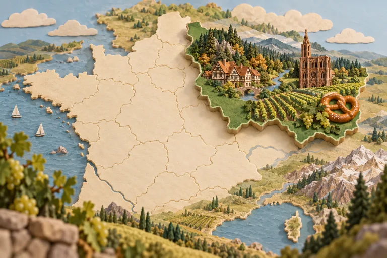
Grand Est connects Alsace, Champagne, Lorraine and the Ardennes across several European borders. Its towns, cathedrals, forests and vineyards carry layered histories. Champagne, Alsatian wines, pretzels, sauerkraut, mirabelles and quiche Lorraine show its culinary range.
Explore public contributions related to this theme.
PUBLIC FAVOURITE PLACE
Sommet et musée du Donon
Shared by: ElsaNord
Published on 2026-04-26 15:40:24
Description
Sommet et musée du Donon est documenté par la notice « Sommet et musée du Donon » publiée sur pop.culture.gouv.fr.
Lieu le plus proche à proximité : Le Velleda, Grandfontaine — à 1,4 km.
Source : https://pop.culture.gouv.fr/notice/merimee/PA00084719
Citation : « À cœur vaillant, rien d’impossible. » — Proverbe français, 1600