ChiliChile
COUNTRY
Country profile
Discover Chile
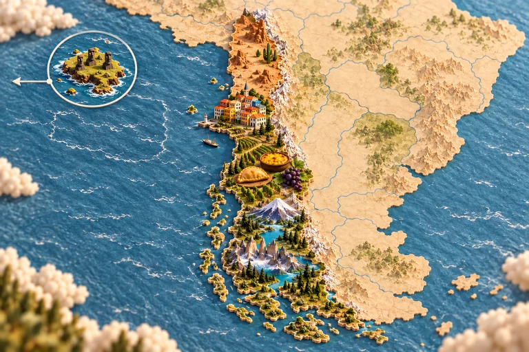
This long Pacific frontage follows the Andes towards Patagonia. The Andean north, central valleys and southern Mapuche regions offer distinct ingredients and recipes; Rapa Nui has its own island heritage, separated from the mainland by the Pacific. Chile extends from the Atacama Desert to southern fjords, between the Andes and the Pacific. Indigenous cultures, ports and vineyards accompany seafood, maize, potatoes and local wines. Useful starting points connect landscapes with cultural heritage: Atacama Desert, Torres del Paine, Valparaiso houses, southern volcano. Food offers another way to explore, including empanada de pino, pastel de choclo corn pie, grapes. These examples introduce selected traditions; they cannot represent every community, region or culinary practice in the country. Markets, workshops and everyday places help explain how skills are passed on, adapted and kept alive. Their stories reveal connections between local ingredients, seasonal celebrations and the people who prepare and share meals. On Kestufela, shared public places and contributions continue this overview with more specific discoveries. Choose a territory, section or interest to explore local perspectives, compare experiences and learn about the places behind familiar images.
Choose an administrative area to explore its favourite places, sections and published tags.